A recent National Geographic piece about the U.S.-Mexico border wall has some stunning photos of exactly what the wall looks like in various different places.
U.S. business magnate, and would-be politician Donald Trump has repeatedly promised to completely seal the U.S.-Mexico border with a wall if he is elected President, and has vowed that he would make Mexico pay for the expense. At present, the parts of the border not already walled or fenced off have security via border guards, drones and scanners.
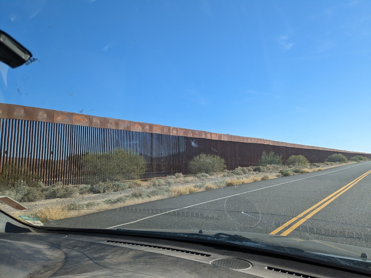
The National Geographic article has photographs taken by James Whitlow Delano, who has visited the border several times in the past decades as the walls have gone up.
The Border Wall © 2023 Allan Wall.
One photo shows the border wall separating Jacumba, California, from Jacume, Mexico, in the high desert. Until September 2001, several years after the first border barricade was built here in the mid-1990s, “residents of Jacume could cross freely into Jacumba to buy groceries or to work, and children would be brought across to go to school or to the health clinic.” Now, what was formerly a 10-minute walk has become a 2-hour drive through the official border crossing at Tecate.
Another photo shows the infamous Smuggler’s Gulch fence, part of a 60-million-dollar project to ensure security between San Diego and Tijuana by completing a triple line of fencing.
The photos are thought-provoking images of one of the world’s most significant land borders. The situation along the border has changed dramatically in recent years. When the first fences were built, Mexican migration to the U.S. was on the rise. Now, however, the net flow of people between the two countries each year is close to zero:
For more about the U.S.-Mexico border zone, see these related Geo-Mexico posts:
- The Transnational Metropolitan Areas of Mexico-USA
- Cross-border tribe faces a tough future
- Energy reforms and Mexico-USA Transboundary Hydrocarbons Agreement
- Mexico and US agree to work together to fight trans-border wildfires
- The curious history of Ambos Nogales, twin cities either side of the Mexico-USA border
- Meandering river leads to border dispute
- Mexicali receives more deportees than any other Mexican border city
Sorry, the comment form is closed at this time.