At its 29th General Assembly in Gwangju, South Korea, a few months ago, the International Council of Societies of Industrial Design (ICSID) announced that Mexico City has been designated World Design Capital (WDC) 2018. Mexico City is the first city from the Americas to hold the designation.
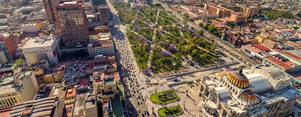
Alameda Park, Mexico City, with Palacio de Bellas Artes in foreground
ICSID President Professor Mugendi M’Rithaa stated, “Mexico City will serve as a model for other megacities around the world grappling with the challenges of urbanization and using design thinking to ensure a safer, more livable city.”
The WDC is awarded every second year to cities that are committed to using design as an effective tool for economic, social, and cultural development. Previous designated cities include Torino (Italy) in 2008, Seoul (South Korea) in 2010, Helsinki (Finland) in 2012, Cape Town (South Africa) in 2014, and Taipei this year, 2016.
The bid was led by Design Week Mexico, a non-profit organization that promotes design as an engine of social change. Design Week Mexico intends to focus its actions on the borough of Miguel Hidalgo, introducing new health, communications and security programs, a bike sharing program, urban gardens, parks and playgrounds. Emilio Cabrera, Director General of Design Week Mexico said, “Our goal is to build a platform for collaboration not only between design disciplines, but also between countries. As WDC, we seek to create a hub of global creative industries that have an impact on their societies.”
The Mexico City bid was preferred over a rival bid from Curitiba (Brazil), well known for its innovative approach to urban sustainability.
For access to more than sixty articles about all aspects of the geography of Mexico City, see The geography of Mexico City: index page.
Related posts:
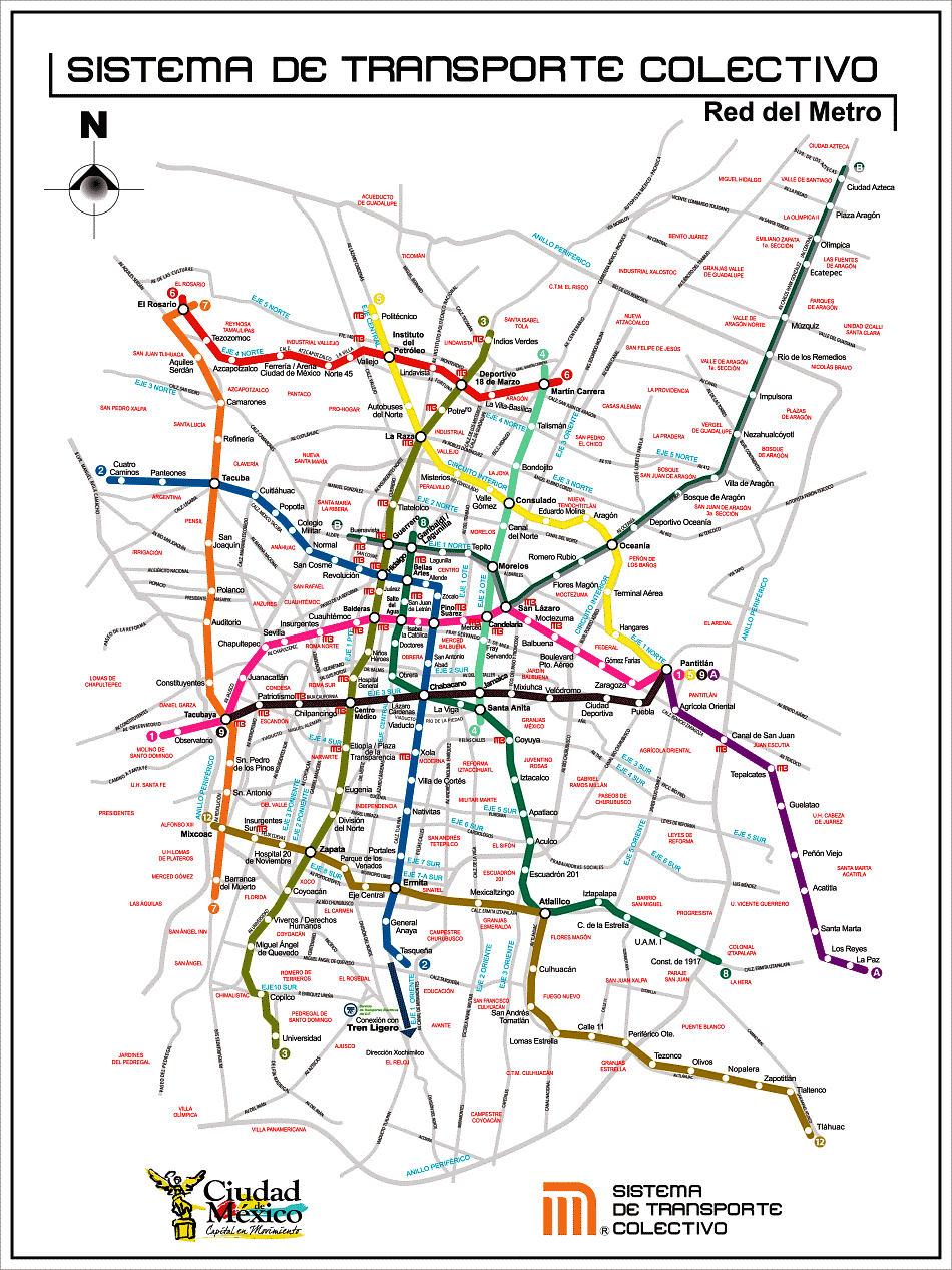
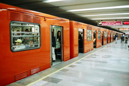
- The challenge of building and maintaining Mexico City’s metro system
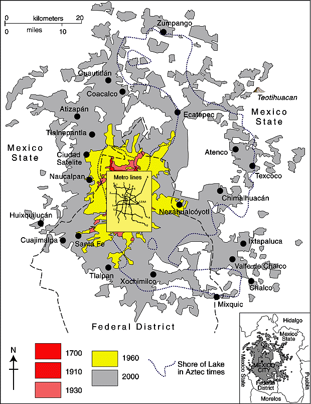
- Mexico City tackles the challenges of population, commuting and air quality [Aug 2012]
- Mexico City wins 2013 Sustainable Transport Award[Jan 2013]
- How can Mexico City find sufficient water? (May 2013)
- Thirty years ago: the 1985 Mexico City earthquakes, a major disaster
- Historic photo of the month: Mexico City cave-dwellers