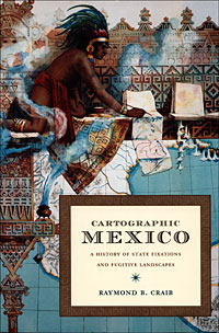
This book by Raymond Craib (Duke University Press, 2004) is one-of-a-kind. Craib combines archival analysis of mainly 19th century documents with perceptive comments on the relationships between history and geography in Mexico from the mid-19th century until about 1930.
 In “Cartographic Mexico, a history of state fixations and fugitive landscapes”, Craib emphasizes the significance of map-making in post-Independence Mexico as a means towards furthering nationalism and as a development tool. He traces the changing motives of map-makers, focusing especially on the key area of Veracruz-Puebla which served as Mexico’s main gateway to Europe for centuries.
Craib considers why certain place names acquired more prominence than others, and examines a case study of a mining area where the granting of water rights hinged on precisely where a particular river flowed, and which tributary had which name, a case where cartographic ‘proof’ proved to be impossible and where a pragmatic solution was required.
This is an important study, with meticulous footnotes and bibliography.
“Cartographic Mexico, a history of state fixations and fugitive landscapes” is available via amazon.com
(Note: This short review was first posted on sombrerobooks.com)
Other books reviewed on Geo-Mexico.com:
- “Poor Economics: A Radical Rethinking of the Way to Fight Global Poverty”
- “Holiday in Mexico: Critical reflections on tourism and tourist encounters”
- Transborder geotourism mapguide for northern Sonora and southern Arizona
- “Visions of San Miguel de Allende”
- “A Drink Named Tequila”
- “Mexican National Identity, Memory, Innuendo and Popular Culture”
- “¡Que vivan los tamales! Food and the making of Mexican Identity”
- “Climate and Society in Colonial Mexico: A Study in Vulnerability”
- Fascinating new book about the Colorado River
- “One Hundred and One Beautiful Small Towns in Mexico”.
- “Paricutín, Fifty Years after its Birth” (Paricutín Volcano, Michoacán)
Sorry, the comment form is closed at this time.