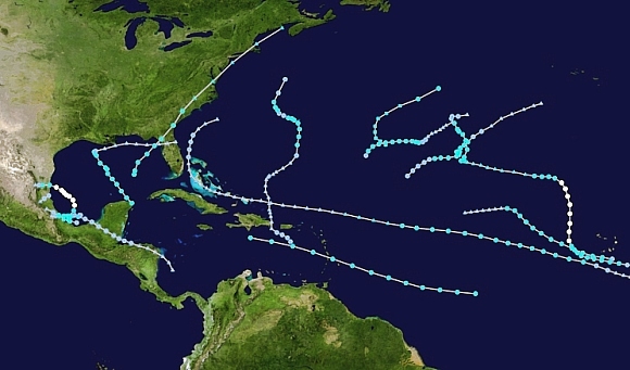
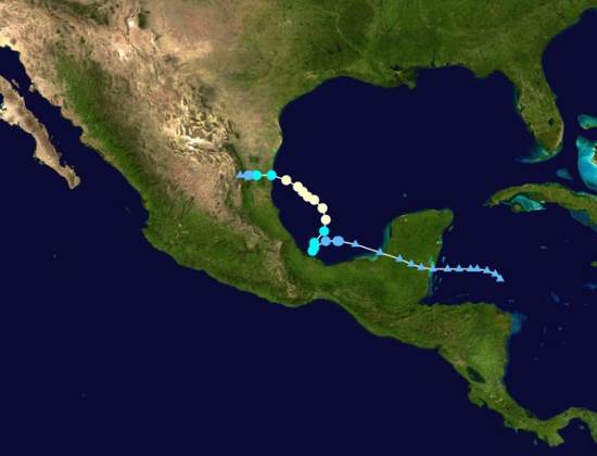
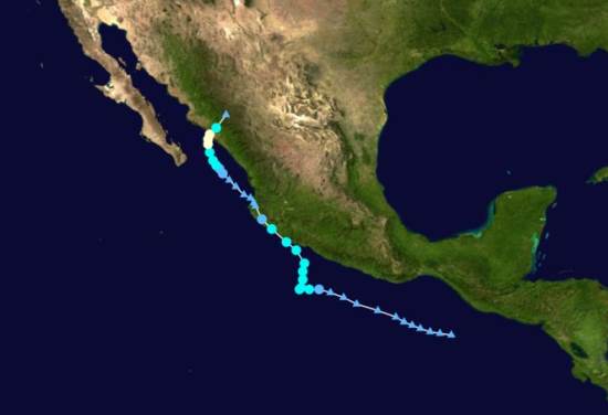
The 2016 hurricane season in Mexico for Pacific coast storms starts on 15 May and lasts until 30 November. For Atlantic storms, the hurricane season extends from 1 June to 30 November, though most hurricane activity is concentrated in the months from July to September. Hurricanes are also known as typhoons or tropical cyclones.
The table shows the World Meteorological Organization’s official list of 2016 tropical storm and hurricane names. Note that male and female names alternate. Names are often reused in future years, with the exception of the names of any particularly violent storms, which are officially “retired” from the list for a long time.
2016 Hurricane Names for the Atlantic, Gulf of Mexico and Caribbean
Alex Gaston Lisa Richard
Bonnie Hermine Matthew Shary
Colin Ian Nicole Tobias
Danielle Julia Otto Virginia
Earl Karl Paula Walter
Fiona
2016 Hurricane Names for the Eastern Pacific
Agatha Georgette Madeline Tina
Blas Howard Newton Virgil
Celia Ivette Orlene Winifred
Darby Javier Paine Xavier
Estelle Kay Roslyn Yolanda
Frank Lester Seymour Zeke
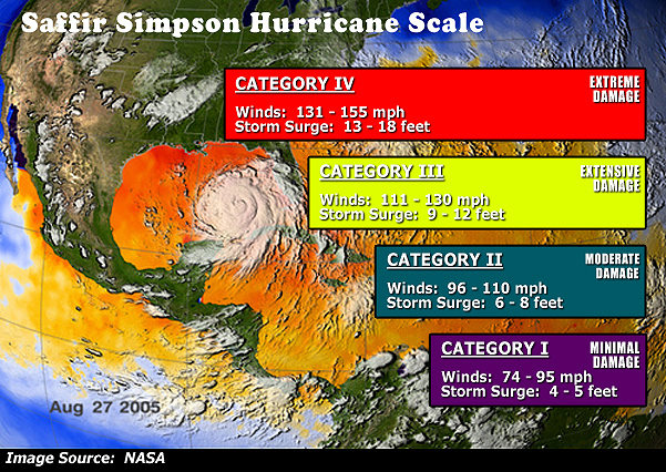
In their early season forecast for this year, Philip Klotzbach and William Gray, researchers at Colorado State University, expect hurricane activity in the Atlantic to be near-normal (ie close to the 30-year average). They predict that in the 2016 season 13 named storms will form in the Atlantic: 5 tropical storms, 6 moderate hurricanes (1 or 2 on the Saffir-Simpson scale), and 2 severe hurricanes (3, 4 or 5 on the Saffir-Simpson scale). These forecasts will be updated on 2 June and 31 July.
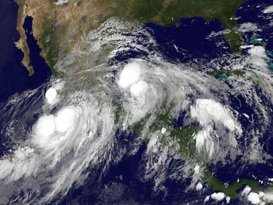
Last year’s Atlantic hurricane season was slightly below average in activity with 11 named storms: 5 tropical storms, 4 moderate hurricanes and 2 severe hurricanes. On the other hand, the 2015 Pacific hurricane season was the second most active on record, with 26 named storms, including 11 severe hurricanes.
In 2016, for the Pacific coast, Mexico’s National Meteorological Service (Servicio Metrológico Nacional, SMN) is expecting 17 named storms: 8 tropical storms, 5 moderate hurricanes (1 or 2 on the Saffir-Simpson scale), and 4 severe hurricanes (3, 4 or 5 on the Saffir-Simpson scale).
For the Atlantic coast, SMN) is expecting 13 named storms: 7 tropical storms, 4 moderate hurricanes and 2 severe hurricanes. On both coasts, these predictions indicate a slight increase in storm activity compared to long-term averages. The SNM publishes regular updates on hurricane activity (in Spanish) on its webpage and via its Twitter account: @huracanconagua.
Hurricanes and other climatological phenomena are analyzed in chapters 4 and 7 of Geo-Mexico: the geography and dynamics of modern Mexico. Buy your copy today, so you have a handy reference guide available whenever you need it.
Related posts: